Accessing Data
GEOGLOWS is a provider of three kinds of streamflow data- Forecast, Retrospective, and GIS/Model Data. This data can be accessed in three ways: through the web app (Hydroviewer), through a REST API, or through AWS storage buckets. The Hydrofabric (described below) is the underlying data layer that supports GEOGLOWS.
Hydrofabric
The GEOGLOWS Hydrofabric is a critical component that defines the spatial structure of watersheds, streams, and river networks within the GEOGLOWS ECMWF Streamflow Service. It serves as the foundational layer used to link global runoff data to individual watersheds, enabling accurate streamflow forecasts at a local scale. The Hydrofabric is developed through a process of delineating watersheds and sub-basins globally, integrating both natural and human-altered drainage patterns.
This dataset allows GEOGLOWS to model streamflow behavior across different regions and supports the accurate routing of water through rivers and streams. By leveraging the Hydrofabric, users can access high-resolution streamflow data mapped to specific basins, allowing for tailored analysis and decision-making. The Hydrofabric is publicly accessible and can be visualized using tools like the GEOGLOWS HydroViewer, making it easy for researchers, engineers, and decision-makers to explore and utilize the data for their respective needs.
Hydroviewer App
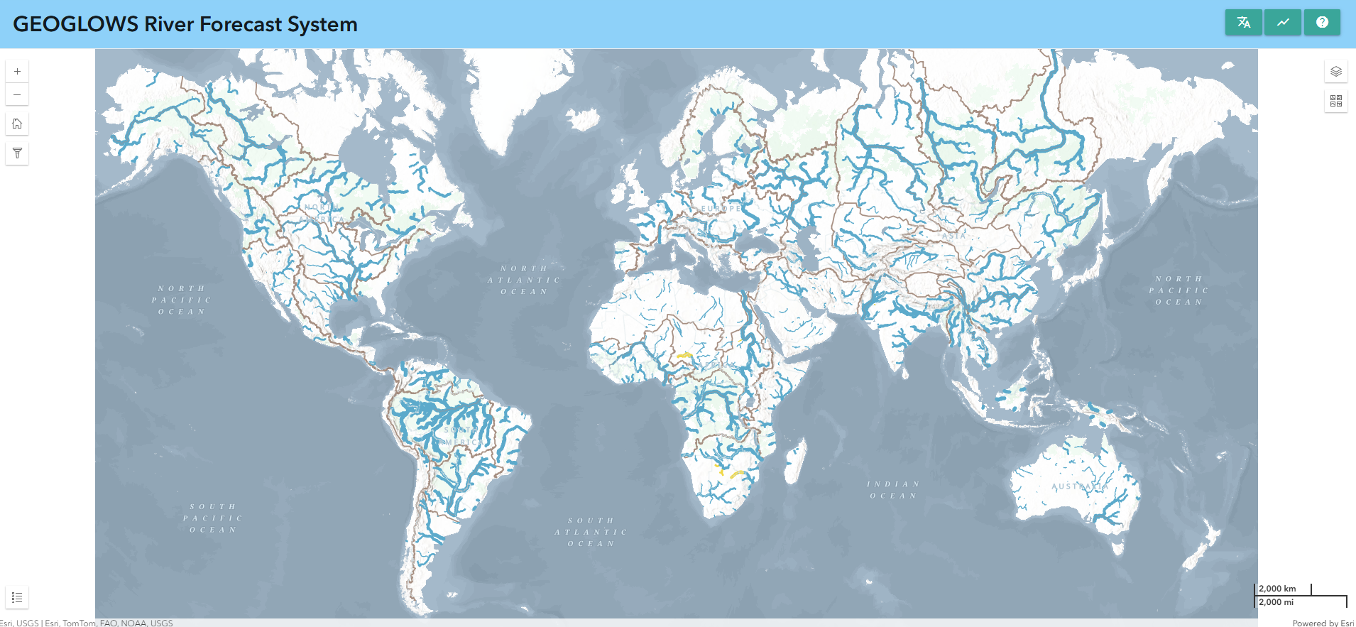
The GEOGLOWS Global HydroViewer is an essential tool for visualizing and accessing streamflow forecasts and historical data across the globe. This web-based application allows users to explore real-time streamflow conditions, analyze forecast trends, and review hydrological simulations for any river, helping decision-makers and researchers better understand water-related challenges. With easy-to-use visualization tools, users can assess discharge values and identify potential flood or drought risks. The HydroViewer supports informed decision-making in water resource management, disaster risk reduction, and climate resilience planning. Access the app at GEOGLOWS HydroViewer.

Rest API Access
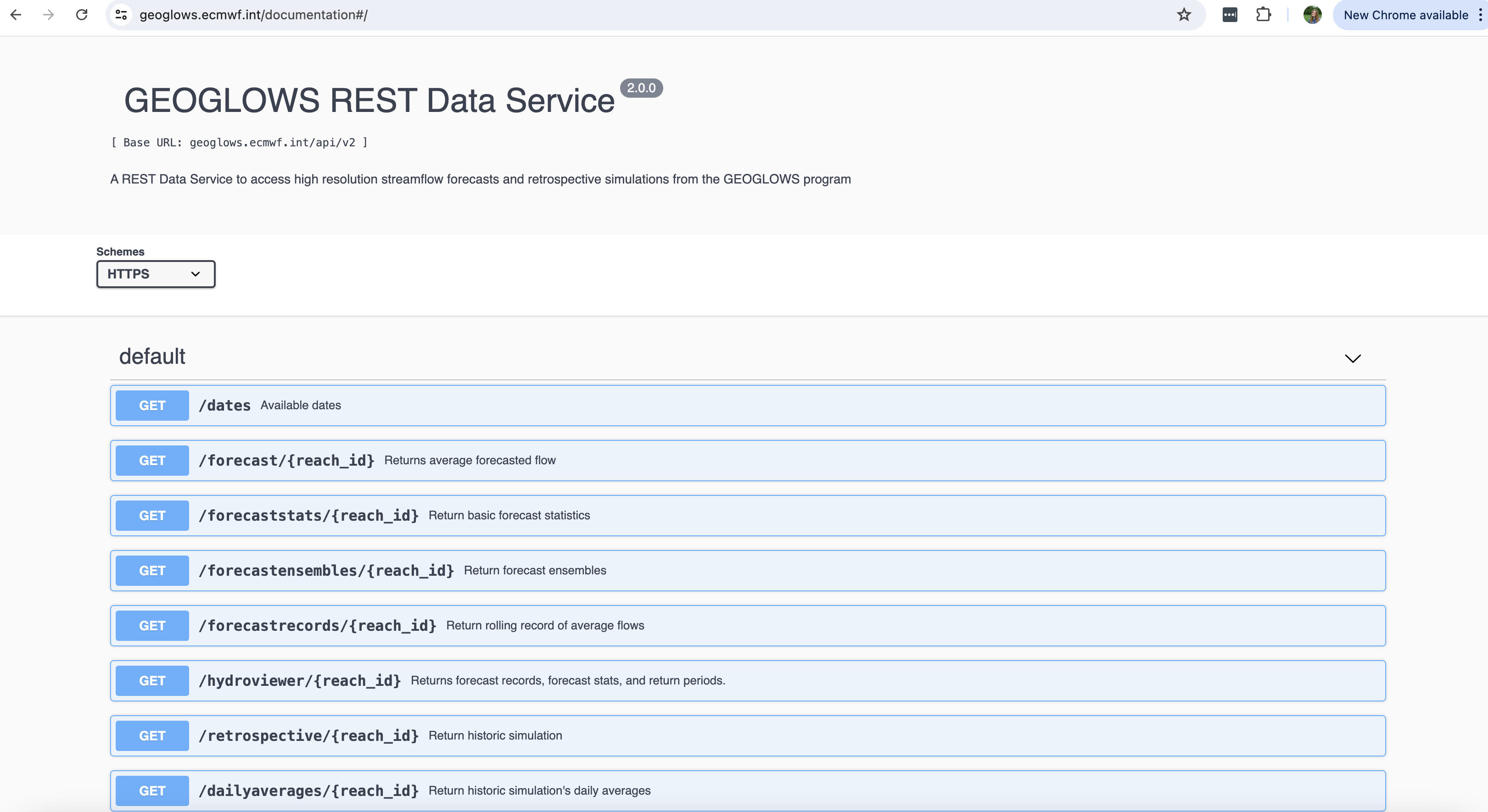
The GEOGLOWS ECMWF Streamflow Service offers programmatic access to streamflow data through a REST API, making it easy for users to integrate global hydrological data into their applications. By using this API, developers and researchers can retrieve historical and forecasted streamflow data in CSV format, enabling custom analysis and visualization. The API provides access to streamflow forecasts for over 7 million river segments worldwide, based on the GEOGLOWS Version 2 dataset derived from the TanDEM-X Hydro dataset. Users can find detailed instructions on how to retrieve data, including identifying river numbers, through comprehensive tutorials and the GEOGLOWS Python package. For more details and documentation, visit GEOGLOWS API Documentation

Programmatic Access Presentation
AWS Buckets
The GEOGLOWS Hydrological Model Version 2 allows users to download global streamflow data directly from AWS, providing access to both retrospective simulation data and 15-day streamflow forecasts. These datasets are hosted in S3 buckets, optimized for time series analysis and bulk downloads. The retrospective data, derived from the ERA5 reanalysis, spans over 80 years, while the forecast data leverages ECMWF ensemble predictions to offer insights into future streamflow conditions. Users can easily access and analyze these data using Python and Jupyter notebooks, with detailed tutorials available. To get started, use the following Colab notebooks:

- Access GEOGLOWS retrospective simulation data from AWS S3
- Access GEOGLOWS river forecast data from AWS S3
These resources make it easy for researchers and developers to integrate GEOGLOWS data into their own applications and analyses.